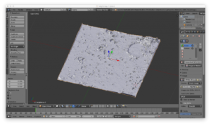
 Our next foray and case study was a Mars AR experience with a 3D model of planet Mars featuring the Schiaparelli crater. We built it using height data from NASA and with advice from UK Space Agency involved in ExoMars mission. In February this year Christopher Wesson, an OS cartographer, produced a map of the red planet that proved very popular with people from all over the world. Within OS Labs, we had the idea for an educational cartography piece to allow enthusiasts to study the surface of Mars, the depth of craters and the terrain. Vuforia, Blender and Unity were used to create the app which recognises the Mars map as an augmentable target. When this happens a 3D model is snapped onto the real world paper map and is tracked in real time. The next stage is embedding this experience into Gear VR headset.
Another interesting case study in progress is the concept of using AR in hospital navigation by displaying navigation arrows in an AR experience on a real time camera view. The arrows would help you navigate in a turn by turn fashion. This is underpinned by iBeacon technology for indoor positioning. An extension to this would be the concept of smart signs that look like generic symbols but within an AR app, as you hold your mobile device up to them, relevant content to your appointment within the hospital is revealed, including how to get to the relevant clinic and any delay times. This is all tied into your calendar and custom to you as a user.
See the full story here: https://www.ordnancesurvey.co.uk/blog/2016/08/talking-augmented-reality-geotech-meetup/